The clouds are thinning over the Northwest and the biggest improvement is along the coast. Here is the latest visible image at 11:40 AM:
There is an enhanced area of showers going into the Washington coast, but that will be through by 3 PM. I am encouraged that the showers are suppressed offshore. If you are on the coast...go ALL the way to the coast...to the waterline...should be less clouds there. Any there will be clouds and sun..so you can see the transit in the gaps. Eastern Oregon seems to be opening up now as well.
Weak convergence is keeping the central Sound cloudy with some showers...these should lessen during the afternoon but still should be a problem. The latest 4/3 km WRF run also suggest that the Sequim/N. Whidbey island/San Juan area should be open, and perhaps the far south Sound (e.g., Olympia). In fact, the area south of Tacoma, might be a good bet if you want someplace close to SEA...it is in the lee of the Olympics.
Good luck...this is an extraordinarily rare astronomical event.
This blog discusses current weather, weather prediction, climate issues, and current events
Subscribe to:
Post Comments (Atom)
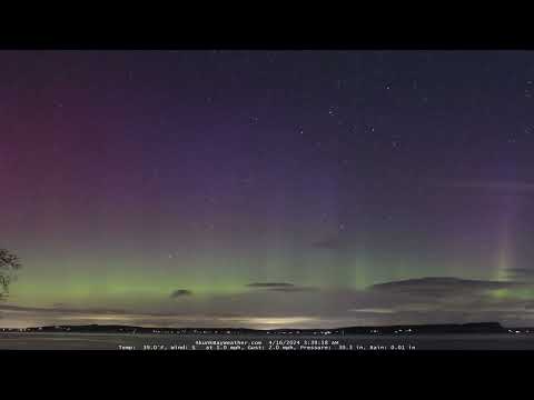
A Good Chance of Seeing an Aurora Tonight over Northern Washington State
A moderate solar storm provides the potential for an aurora extending southward into Washington State tonight and tomorrow night. In fact, q...

-
Mother Nature seems to have forgotten about the current strong El Nino and the record warmth of the past month. Massive snow will fall over ...
-
Update Tonight On the Arctic Air Entering Our Region and Localized Areas of Snow __________________________ The buzz is up regarding the pot...


No comments:
Post a Comment
Please make sure your comments are civil. Name calling and personal attacks are not appropriate.